Other posts may make mention of the same journeys which only goes to show how traumatised I’ve been by ending up, yes naively, on routes, where one has past the point of no return for a variety of reasons; which have taken the van ever higher on ever-narrowing, hairpinning roads, gripping the steering wheel for dear life! and practising some severe cognitive behavioural therapy to keep going, and not to be so ridiculous. And I have to acknowledge that the lesson of the first Pyrenean route to look at maps, altitudes etc was not learned as I tried to get to a campsite already high up in the Sierra Nevadas as a base for visiting Granada.
It may be concluded that I don’t like heights, and will endure them for a greater goal, eg on some kind of ski-lift, but I would rather drive a 40-mile slow single-track route to get out of Applecross in Scotland, than drive back over the infamous Belach-Na-Ba pass.
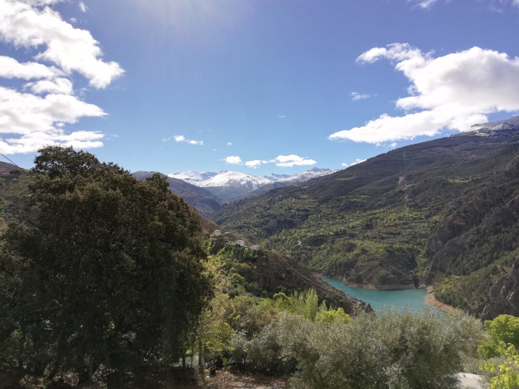
Unfortunately my photos don’t really capture the white-knuckle ride I endured as I drove ever up on the other side of the valley. The campsite is just below Guejar Sierra at 1000m and looking down on the Canalis reservoir.

